What We Deliver
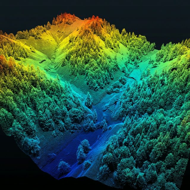
HIGH-DENSITY POINT CLOUD — ELEVATION-MAPPED TERRAIN DATA
Who We Serve
Civil Engineers
Pre-construction topographic surveys, grading verification, and as-built documentation for residential and commercial projects across Colorado.
Developers & Builders
Detailed terrain analysis for mountain and Front Range site planning, driveway design, and drainage modeling on complex Colorado terrain.
Ranch & Land Owners
Property boundary surveys, land management planning, and conservation easement mapping for rural and agricultural properties statewide.
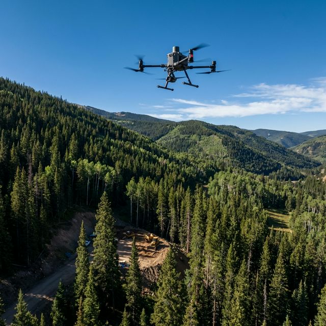
Equipment & Processing
Common Questions
What is LiDAR drone surveying?
LiDAR (Light Detection and Ranging) uses laser pulses emitted from a drone-mounted sensor to create detailed 3D maps of terrain and structures. Unlike photogrammetry, LiDAR penetrates vegetation to capture true ground elevation — making it ideal for Colorado's varied terrain from mountain forests to plains.
How accurate is drone LiDAR?
Our RTK-corrected LiDAR system achieves centimeter-level accuracy (±2-3cm horizontal, ±3-5cm vertical) across any Colorado terrain. This meets ASPRS Class 1 standards and is accepted by county surveyors and engineering firms statewide.
How long does a LiDAR drone survey take?
Most residential and small commercial sites can be flown in 30-60 minutes. Larger ranch or agricultural properties may require 2-4 hours of flight time. Processed deliverables are typically ready within 24-48 hours.
What deliverables do I get from a drone LiDAR survey?
Standard deliverables include classified point clouds (LAS/LAZ), digital elevation models (DEM), digital surface models (DSM), contour maps, and CAD-ready exports. We also provide BIM-compatible formats for Revit and Civil 3D integration.
How much does drone LiDAR surveying cost?
Every project is scoped individually based on site size, terrain complexity, and deliverable requirements. LiDAR surveys are priced per acre with volume discounts for larger properties. Contact us for a custom quote — we respond within 24 hours.
Service Area
Every flight is FAA Part 107 compliant with RTK centimeter-level accuracy. We serve mountain communities, Front Range cities, and rural properties across all of Colorado.
Our Other Services
Ready to map your site?
Get a quote for your LiDAR surveying project anywhere in Colorado. We respond within 24 hours.
Request a Quote